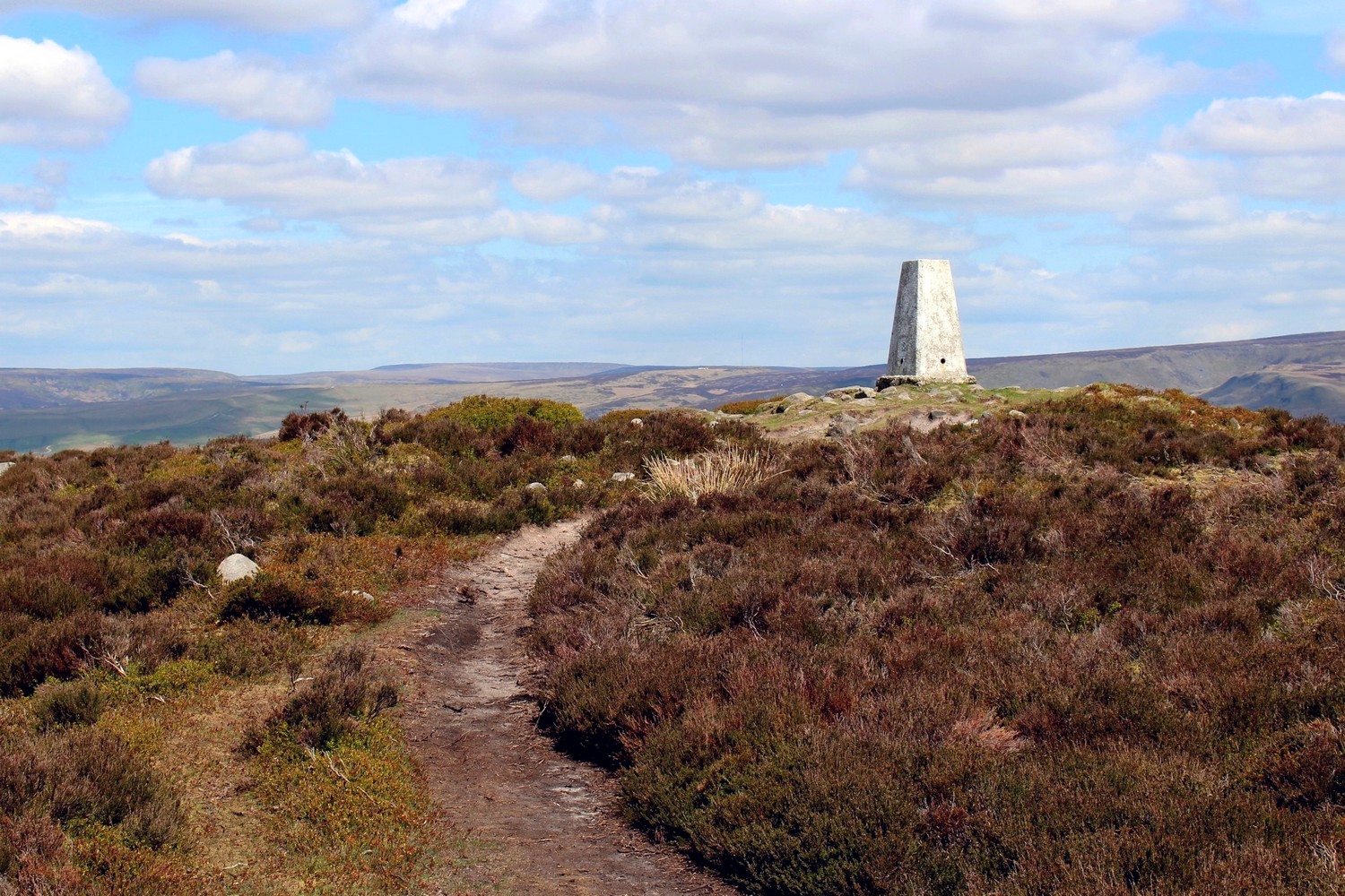
Chunal Moor is a beautiful area of high, heather covered moorland in the Dark Peak with paths leading onto it from two points on the A624 between Hayfield and Glossop, and from Mill Hill. Upon studying the Ordnance Survey map, you will see the highest point on the moor is named Harry Hut.
So who was Harry and where is his hut? Well, it appears that no-one knows! There is certainly no hut there now, but there are a few loose rocks around the trig point, so maybe Harry did build some kind of shelter there many years ago. What do you think?
It’s certainly a beautiful place and the paths tend to be quieter than those on nearby Kinder Scout and the Pennine Way.